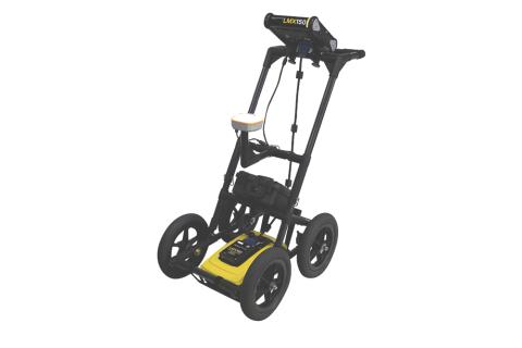
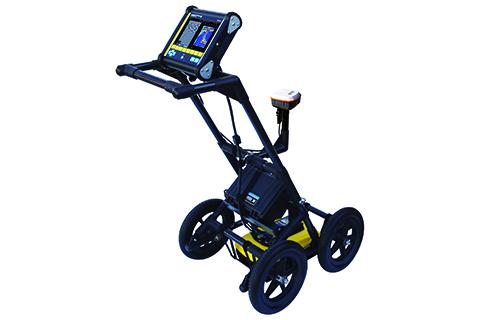
Key Features- Locating abilities: Finds metallic and non-metallic utilities, failed tracer wires, concrete storm and sewer systems, and other non-utility structures like underground storage tanks, foundation walls, and septic systems.
- High-resolution scanning: Features a 500 MHz Ultra-wideband (UWB) GPR antenna with a scanning depth of up to 3 meters (10 ft).
- Intuitive display: Includes a high-visibility, full-color touchscreen that is readable in direct sunlight.
- Multiple modes: Offers Line Scan mode for cross-sectional views and Grid Scan mode for more complex mapping.
- Real-time visualization: Features MapView, which displays line scans, grids, and interpretations in a plan view (requires external GPS for full functionality).
- Durable and portable: Designed with a lightweight fiberglass cart and has an IP65 rating for use in harsh field conditions.
- Data handling and reporting: Data can be exported for post-processing with the optional EKKO_Project™ PC Software. It can also generate reports and email screenshots from the field.
- DynaQ technology: This feature automatically adjusts the stacking (averaging) based on survey speed to provide better data quality.
|