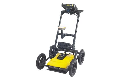
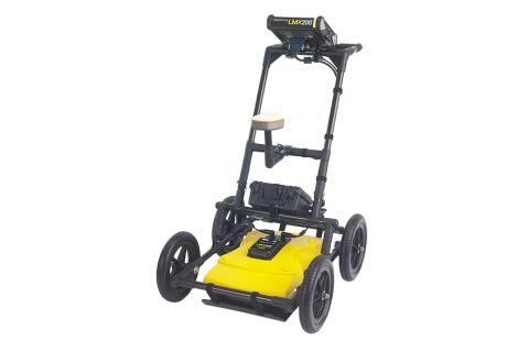
Key Features
- Deep and high-resolution imaging: The LMX200 uses a patented ultra-wideband (UWB) 250 MHz GPR antenna to find both metallic and non-metallic utilities and other subsurface features. It offers a maximum depth penetration of up to 8 meters (26 ft), depending on soil conditions.
- Wide range of detection: It is capable of locating non-metallic pipes (PVC, asbestos cement), underground electrical cables, concrete storm and sewer systems, utilities with failed tracer wires, underground storage tanks, drainage tiles, and more.
- DynaT (Dynamic Target Enhancement): This feature acts like three separate GPRs in one, allowing the user to toggle between different views to enhance small, medium, and large targets, providing greater confidence in target identification.
- DynaQ (Dynamic Stacking): This technology automatically adjusts the signal processing based on the survey speed to provide higher data quality.
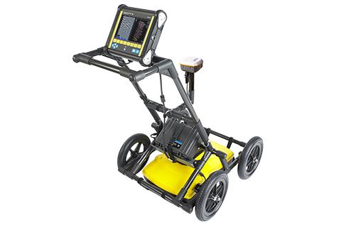
- High-visibility touchscreen: The system features a large, 8-inch diagonal resistive touchscreen that can be operated while wearing gloves and is readable in direct sunlight.
- Grid Scan mode: This advanced mode allows for guided data collection and the creation of on-site depth slices, which provide a comprehensive plan view of buried assets.
- MapView and SplitView: With an optional external GPS, the device can display a real-time MapView of the survey path and targets. The SplitView function shows both a cross-section (LineView) and MapView simultaneously.
- Data marking and interpretations: Users can add interpretations in the field by tapping the screen, which saves the location and depth of features.
- Instant reports: On-site, users can create and share mini-reports via built-in Wi-Fi.
|